Geography of Syria
Discover the diverse landscapes of this fascinating country
Geographical Overview
Area: 185,180 km² (approximately 71,498 sq mi)
Location: Western Asia, on the eastern coast of the Mediterranean Sea
Coordinates: 35°00'N, 38°00'E
Highest point: Mount Hermon (2,814 m / 9,232 ft)
Lowest point: Sea of Galilee (-200 m / -656 ft)
Coastline: 193 km (120 mi) along the Mediterranean Sea
Borders
Syria borders five countries and holds a strategic location:
- North: Turkey (822 km / 511 mi)
- East: Iraq (605 km / 376 mi)
- South: Jordan (375 km / 233 mi)
- Southwest: Israel (76 km / 47 mi)
- West: Lebanon (375 km / 233 mi)
- Northwest: Mediterranean Sea (193 km / 120 mi)
Diverse Landscapes
🏖️ Coastal Area
The narrow coastal strip along the Mediterranean Sea is approximately 15-30 km (9-19 mi) wide. This area has a Mediterranean climate with mild winters and warm summers.
Important cities: Latakia, Tartus, Baniyas
Characteristics: Sandy beaches, citrus plantations, tobacco fields
⛰️ Mountain Ranges
Two major mountain ranges dominate western Syria:
Alawite Mountains: Runs parallel to the coast, highest point 1,562 m (5,125 ft)
Anti-Lebanon: Forms the border with Lebanon, including Mount Hermon
Characteristics: Dense forests, cool temperatures, snow in winter
🌾 Fertile Plains
Between the mountain ranges lie fertile plains that constitute Syria's agricultural areas.
Ghab Plain: Between the mountain ranges, important for agriculture
Hauran Plain: In the south, known for wheat cultivation
Characteristics: Rich soil, irrigation, primary food production
🏜️ Desert Regions
The eastern part of Syria is dominated by the Syrian Desert.
Syrian Desert: Part of the Arabian Desert
Palmyra Desert: Historically important trade area
Characteristics: Arid climate, oases, nomadic traditions
Rivers and Water Bodies
🌊 Euphrates
The most important river in Syria, flowing from northwest to southeast through the country.
Length in Syria: ~675 km (419 mi)
Significance: Irrigation, electricity, transport
Cities: Raqqa, Deir ez-Zor
🏞️ Orontes
Flows northward through Western Syria to Turkey and the Mediterranean Sea.
Length: ~571 km (355 mi) total
Significance: Agriculture in the Ghab Plain
Cities: Homs, Hama
💧 Other Water Bodies
Khabur: Tributary of the Euphrates
Barada: River near Damascus
Lake Assad: Artificial lake behind the Tabqa Dam
Sea of Galilee: Shared with Israel
Climate
🌤️ Climate Zones
Mediterranean climate (West):
- Mild, wet winters (10-15°C / 50-59°F)
- Warm, dry summers (25-30°C / 77-86°F)
- Precipitation: 600-1000 mm/year (24-39 in/year)
Continental climate (Inland):
- Cold winters (0-10°C / 32-50°F)
- Hot summers (30-40°C / 86-104°F)
- Precipitation: 200-600 mm/year (8-24 in/year)
Desert climate (East):
- Very hot summers (40-50°C / 104-122°F)
- Cool winters (5-15°C / 41-59°F)
- Precipitation: <200 mm/year (<8 in/year)
🌧️ Seasons
Winter (December-February):
Rainy season, snow in the mountains, cool temperatures
Spring (March-May):
Mild temperatures, blooming landscapes, ideal weather
Summer (June-August):
Hot and dry, especially in the interior and desert
Autumn (September-November):
Cooling down, beginning of the rainy season, pleasant temperatures
Important Cities and Provinces
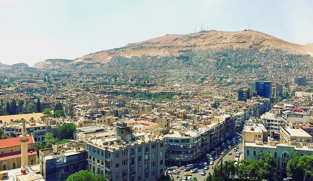
Damascus
Population: ~2.5 million (current estimates vary)
Location: Southwest, at the foot of the Anti-Lebanon mountains
Characteristics: Capital, political center, Old City (UNESCO World Heritage). As of July 2025, Damascus is under the control of the transitional government, facing ongoing reconstruction efforts and security challenges, including recent attacks.
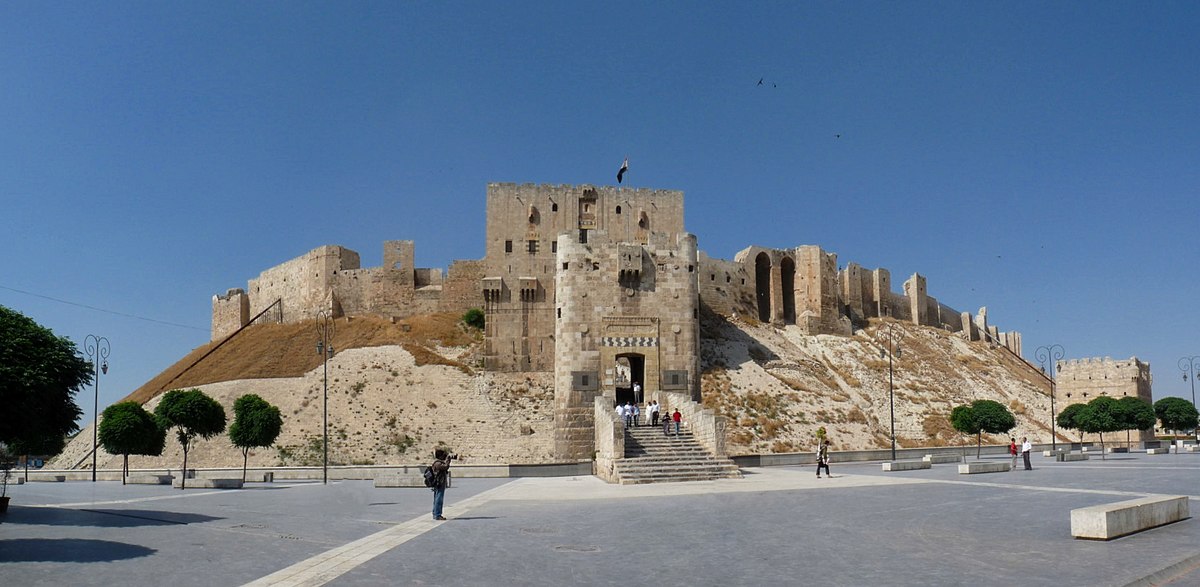
Aleppo
Population: ~2.1 million (pre-2011, current figures significantly lower due to conflict)
Location: Northwest, on historical trade routes
Characteristics: Commercial center, citadel, Old City (UNESCO World Heritage). Aleppo is undergoing significant rebuilding efforts as of July 2025, with residents returning despite continued challenges and the scars of conflict.
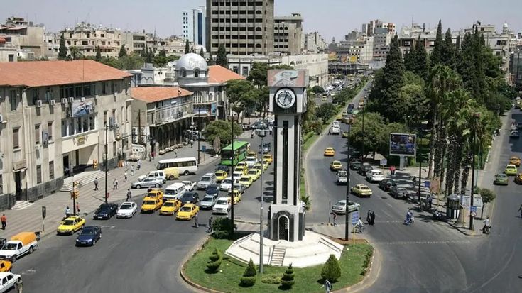
Homs
Population: ~1.3 million (current estimates vary)
Location: Central, on the Orontes River
Characteristics: Industrial center, crossroads. Homs is also in a phase of reconstruction, with some areas showing signs of recovery while others still bear the scars of conflict as of July 2025.
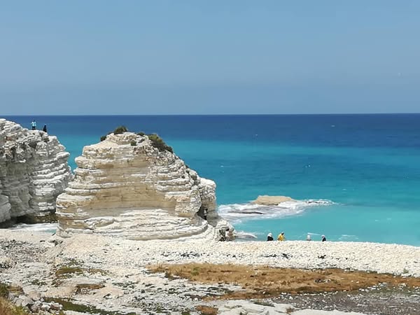
Latakia
Population: ~650,000 (current estimates vary)
Location: Coastal, main port city
Characteristics: Seaport, tourism, tobacco industry. As of July 2025, Latakia has been affected by significant wildfires, posing environmental and humanitarian challenges.
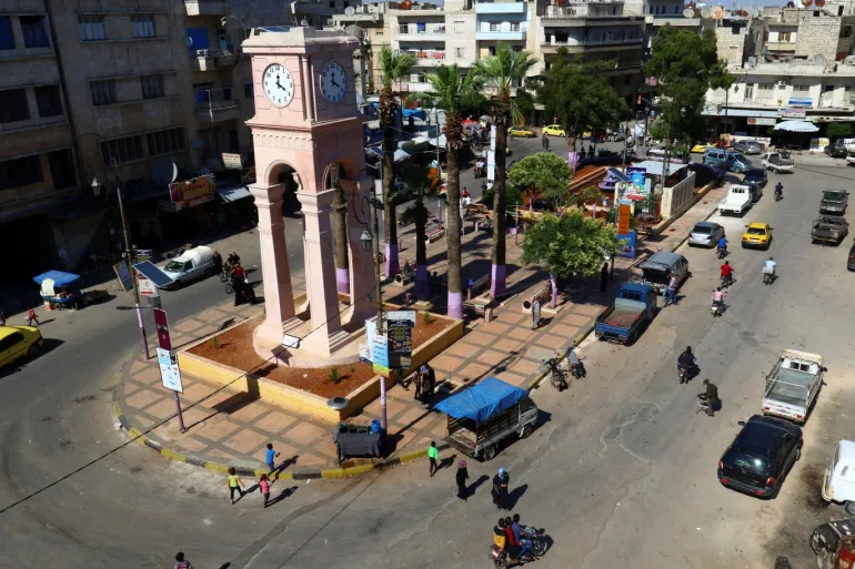
Idlib
Population: ~1.2 million (pre-2011, current figures significantly higher due to displacement)
Location: Northwest, near the Turkish border
Characteristics: Major center for displaced persons, complex humanitarian situation. As of July 2025, Idlib remains a highly contested area with ongoing humanitarian concerns and a large internally displaced population.
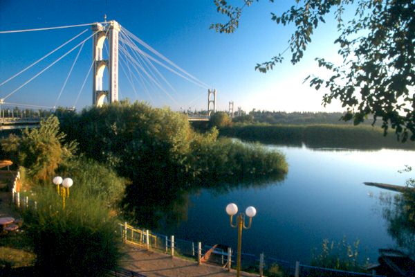
Deir ez-Zor
Population: ~400,000 (pre-2011, current figures vary)
Location: East, on the Euphrates River
Characteristics: Oil industry, agriculture. As of July 2025, Deir ez-Zor faces ongoing security challenges, including arrests related to Iranian forces and issues with unexploded ordnance, impacting returning residents.
Natural Resources
⛽ Energy Sources
Petroleum: Primarily in the northeast and east
Natural Gas: Reserves in various regions
Hydropower: Dams on the Euphrates and Orontes
Solar Energy: Great potential due to abundant sunlight
🏭 Minerals
Phosphate: Important export, especially from Palmyra area
Salt: From salt lakes and salt pans
Gypsum: For building materials
Marble: From the mountainous regions
Agriculture and Ecosystems
🌾 Agricultural Products
Grains: Wheat, barley, corn
Fruits: Olives, citrus, grapes
Vegetables: Tomatoes, cucumbers, onions
Cotton: Important export product
🌳 Vegetation
Mediterranean vegetation: Along the coast
Mountain forests: Oaks, pines, cedars
Steppe: In the interior
Desert vegetation: In the east
🦎 Fauna
Mammals: Gazelles, wild boars, jackals
Birds: Birds of prey, migratory birds, waterfowl
Reptiles: Lizards, snakes
Endangered species: Syrian brown bear, Arabian oryx
Environmental Challenges
💧 Water Scarcity
Syria faces increasing water scarcity due to:
- Climate change and drought
- Over-exploitation of groundwater
- Pollution of water bodies
- Dams in neighboring countries (Turkey)
🌍 Other Challenges
Desertification: Expansion of desert areas
Deforestation: Loss of mountain forests
Air Pollution: In major cities
Soil Erosion: Due to overgrazing and agriculture
Protected Areas and Nature Parks
🏞️ National Parks and Reserves
Syria has several protected areas to preserve its natural biodiversity:
- Al-Shouf Cedar Reserve (Lebanon, but relevant for regional context) - Protection of cedar forests
- Palmyra Reserve - Desert ecosystem around the historical site
- Coastal reserves - Protection of coastal ecosystems
- Wetland reserves - Important stopovers for migratory birds
These areas are crucial for preserving Syria's unique flora and fauna and offer protection against further environmental degradation.
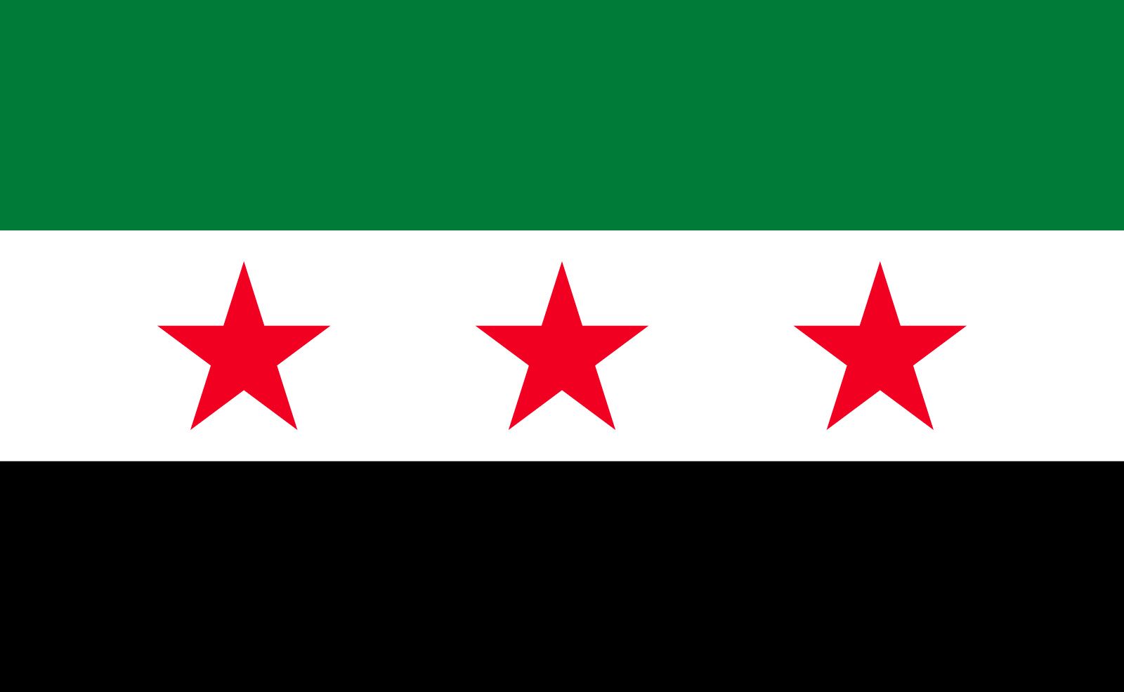 Syria
Syria